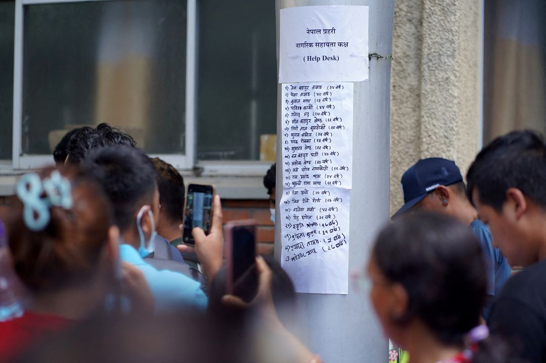
The catastrophic flash floods that devastated areas along the Nepal-China border on Wednesday and claimed at least 180 lives were initially mistaken to be the result of an earthquake.
But experts say a glacier collapse triggered the seismic event and unleashed a massive debris flow.
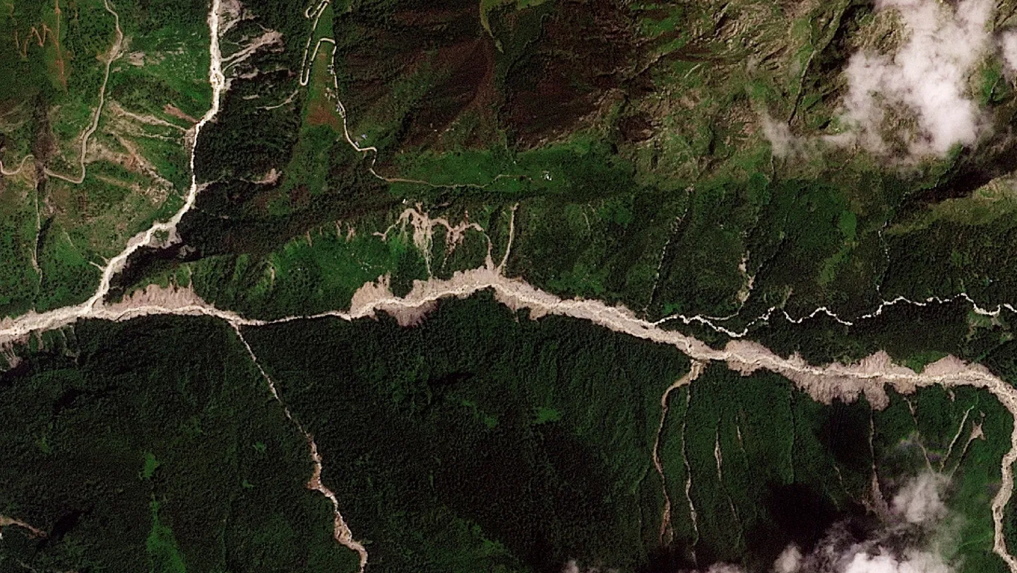
A large chunk of glacier fell from about 5,200 metres into a valley, according to Simon Cox, principal scientist at New Zealand’s GNS Science.
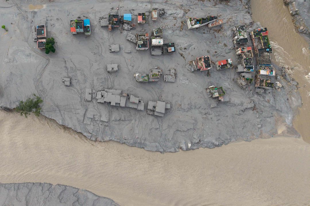
The collapse generated a powerful flow of water, ice, rocks, sediment and trees that raced through the canyon, striking a border post before moving downstream into Nepal.
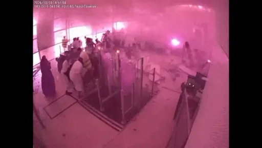
Terrifying CCTV footage showed mud and debris engulfing the border area as people fled. The flood later swept through villages, destroying bridges and buildings.
Seismic event initially mistaken for earthquake
The glacier collapse was large enough to register as a seismic event, initially leading authorities to believe an earthquake had occurred.
After analysing the event, the US Geological Survey determined that it was instead caused by a glacial collapse and debris flow, with no earthquake taking place.
The event registered at magnitude 5.2 and occurred at 8:37 am local time (0252 GMT).
Experts said determining how much ice collapsed would take time, with estimates ranging from 500,000 cubic metres to tens of millions of cubic metres.
How the glacier triggered the flood
Experts are investigating whether water stored beneath the glacier contributed to the disaster, while the falling ice may also have temporarily blocked the river before releasing a large volume of water.
Early speculation focused on a glacial lake outburst flood, or GLOF, which occurs when a natural barrier holding back meltwater suddenly collapses.
However, experts said they had not detected existing glacial lakes near the collapse site. They instead suggested that water beneath the glacier, or water temporarily dammed by the falling ice, may have contributed to the flood.
Summer glacier melt and monsoon rains had already raised water levels upstream. The rushing water also gathered rocks, mud and other debris as it travelled through the valleys, Cox said.
Scientists examine climate link
Experts are using satellite imagery and ground measurements to determine how much of the mountain changed during the collapse.
Lauren Vargo, a glaciologist at New Zealand’s Victoria University of Wellington, said researchers could compare satellite images taken before and after the disaster to identify what was missing from the mountain.
While scientists caution against directly attributing an individual glacier collapse to climate crisis, they say rising temperatures are increasing stress on glaciers and contributing to their retreat worldwide.
“The biggest way to mitigate the risk would be to reduce our greenhouse gas emissions to limit warming,” Vargo said.