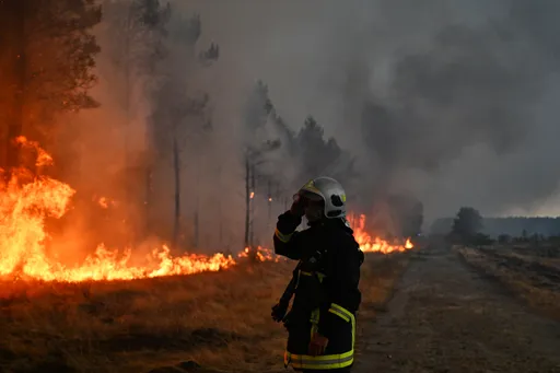
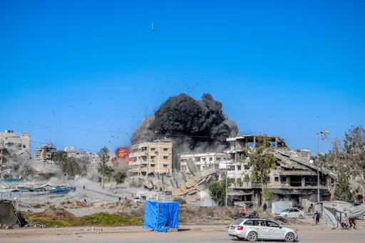
Earthquake scientists from various Turkish universities have embarked on a research mission to examine fault lines of the earthquake-stricken areas in southeastern Türkiye.
In four different groups, they are creating an on-field surface fracture map to determine the extent of the damage caused by the twin quakes. A detailed report is expected to be published in the coming days.
Led by Istanbul Technical University (ITU), the team comprises of scientists from various other universities, including Mugla Sitki Kocman University, Firat University, Gebze Technical University, and Munzur University.
“As soon as we understood the earthquake was huge, we expanded our team,” says Prof. Dr. Husnu Serdar Akyuz, a lecturer from the Geological Engineering Department at ITU, who is part of the investigation.
“On the other hand, the Narli fault line is broken, we studied that area as well. We think another fault has been broken from Golbasi to the northeast. In the earthquake that happened at noon, the Cardak fault was broken. The fault affecting Elbistan was broken, and the Munzur University and Firat University teams are working there,” he added while speaking to Turkish media.
Istanbul and Gebze Technical Universities are conducting research in the region from Kirikhan to Nurdagi, while the team from the ITU is focusing on the area from Nurdagi to Golbasi. The members from the Mugla University and ITU are working on the Erkenek faultline.
According to Akyuz, five different fault lines are broken. Even though the East Anatolian was the main one to have ruptured during last week’s tremblor, several of its branches have also separated. The team has seen 5-metre-long lapses between the blocks that are expected to increase when moving toward the northeast.
“Our mapping of the 15-kilometer-long fault going south from Pazarcik revealed a displacement of approximately 2.5 meters. Moving toward Golbasi from Nurdagi, we observed a gradual increase in the amount of slippage between the fault’s blocks, with shifts of up to 5 meters,” Akyuz explains.
Dr. Cengiz Zabci from the ITU shared two pictures taken from the ground on social media. They show the surface rupture and lateral spreading.
Since the investigation is ongoing, the team will explain which one happened first in their final report.


READ MORE:Why does earthquake prediction remain impossible?
Asen Sabuncu, another scientist working on the ground, marked the earthquake as “the most destructive earthquake observed/measured in the country in the last century”.
“With the fastest land preparation of my professional life, we moved to the region very difficult. Although it is known that the fault is in this location, examples of structures built on it, not around it,” he said.
There are several other scientists commenting on the quakes via social media.
Chris Milliner from the California Institute of Technology compares the two earthquakes that jolted Türkiye in the morning and noon of February 6 with the one that happened in 2020.
“Only a 55 km gap exists along the same fault between them. Was this unexpected?” he says.
“That is difficult to determine. Stresses would have increased along the East Anatolia Fault due to the earlier Mw 6.8. Dynamic and static stress calculations could help determine how much. This is one question many scientists will be working on to answer in the coming weeks”.